
THAT’S WHAT WE’RE STILL TALKING ABOUT. AND THIS IS A LIVE LOOK OUTSIDE AT SACRAMENTO RIGHT NOW. THE SUN IS SHINING. NOW IS THE TIME TO GET OUTSIDE BECAUSE THIS IS THE COOLEST. IT’S GOING TO BE ALL DAY. 71 DEGREES RIGHT NOW WINDS OUT OF THE SOUTHWEST AT ABOUT FIVE MILES PER HOUR. THAT’S ALREADY WARMER THAN IT WAS AT THIS TIME YESTERDAY. BUT BECAUSE WE’RE GOING TO GET A LITTLE BIT MORE OF A BREEZE IN THE AFTERNOON OUT OF THE SOUTHWEST, TEMPERATURES ARE NOT EXPECTED TO BE AS HOT AS THEY WERE YESTERDAY. SO BY 11 A.M. WE’RE LOOKING AT 91 DEGREES BY 3:00, 105. NOW LET’S TAKE A LOOK AT THE PATTERN HERE FOR THE NEXT COUPLE OF DAYS. THE RIDGE OF HIGH PRESSURE THAT’S BEEN BRINGING US THE HEAT. IT’S STILL HERE AND IT’S STILL HANGING AROUND, BUT IT IS SLOWLY STARTING TO WORK. ITS WAY OFF TO THE EAST. NOW WE ARE GOING TO SEE A LITTLE JUMP IN THE TEMPERATURES AGAIN FOR WEDNESDAY AND THURSDAY, BUT THEN THOSE TEMPERATURES START GOING BOUND DOWN AS A LONG TROUGH STARTS WORKING ITS WAY IN. AND THIS IS GOING TO BE BRINGING US SOME COOLER AIR, NOT JUST FOR THE END OF THE WEEK. AND THE WEEKEND, BUT HOPEFULLY INTO NEXT WEEK AS WELL. SO FOR THE SIERRA TODAY, IT IS CERTAINLY STILL GOING TO BE A HOT AND WE MAY STILL SEE SOME RECORDS FALL IN THE SOUTH LAKE TAHOE AREA. TAKE A LOOK AT THESE HIGH TEMPERATURES. I MEAN, WE’RE TALKING ABOUT LOW 90S SUNDAY ALL THE WAY THROUGH THURSDAY. REMEMBER, A LOT OF THE HOMES AND CABINS DON’T HAVE AIR CONDITIONING. AND A LOT OF PEOPLE LIKE CAMPING OVER THE WEEKEND. THIS IS NOT GREAT CAMPING WEATHER. WE’RE LOOKING AT UPPER 80S, THOUGH. BY THE TIME WE GET TO THE END OF THE WEEK FOR THE FOOTHILLS 105 TODAY, IT’S STILL AN ALERT. DAY 104 TOMORROW, BUT 98 ON TUESDAY. NOW TEMPERATURES WILL JUMP BACK UP WEDNESDAY AND THURSDAY BEFORE THEY START GOING BACK DOWN AGAIN. AND FOR SACRAMENTO, WE’RE LOOKING AT 107 TODAY. BUT 100 EVEN TOMORROW AND 98 ON TUESDAY. I THINK WE’RE GOING TO FEEL THE DIFFERENCE, ESPECIALLY AFTER 113 YESTERDAY. NOW WEDNESDAY AND THURSDAY. BACK TO IMPACT DAYS 104 105. AND THEN WE GO BACK DOWN INTO THE UPPER 90S. NOW UPPER 90S IS OF COURSE STILL ABOVE NORMAL. 94 IS THE NORMAL TEMPERATURE FOR THIS TIME OF YEAR. BUT AGAIN, AFTER THE 113 WE HAD YESTERDAY, 98 SOUNDS FANTASTIC. IT SURE DOES. AND RICK IS STILL WORKING RIGHT NOW.
Northern California heat wave forecast: Dangerous heat continues on Sunday
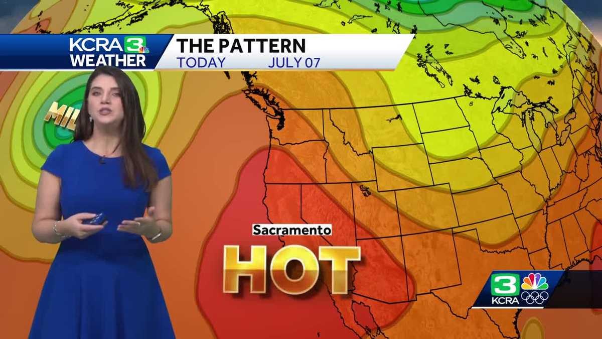
The region faces more dangerous heat Sunday. Temps will flare up again mid-week before coming back down.
copyShortcut to copy
Link copied!
Updated: 8:10 AM PDT Jul 7, 2024
Sunday will mark day eight of triple-digit heat in Northern California. The heat will begin to ease next week, except for a flare-up midweek. But then relief will be on the way by next weekend, according to our weather team. On Saturday, temperatures set more records in places like Sacramento, Stockton, Modesto and South Lake Tahoe, according to our weather team. KCRA 3’s weather team is calling Sunday an Alert Day because of the dangerous heat that could lead to health issues. Alert Days are issued when safety is a concern due to weather conditions. We have issued Alert Days since Tuesday.Next Wednesday and Thursday will be Impact Days with temperatures expected to climb to 104-105. Impact Days, which are less severe than Alert Days, are issued when weather conditions may impact outdoor travel and activities.| Dig Deeper | Heather Waldman explains why climate change is making this level of heat more likely What’s the forecast for Sunday and next week?Sunday’s temperature highs are expected to reach 107 degrees in the Valley. In Sacramento, expect 91 degrees by 11 a.m. and 105 by 3 p.m. The Foothills can expect a high of 105.The Sierra’s highs are forecast to be 93 degrees. Next week will start hot but it will be less intense than has been the case recently. The Valley is looking at highs at or around 100 degrees for Monday and Tuesday.Temps will rise again on Wednesday and Thursday before dropping off. Expect cooler air through the end of the week and into next week. Read more from Tamara Berg about why this heat wave is happening Read more as Heather Waldman looks back at Northern California’s longest heat wave. Read more about why north winds are dangerous during wildfire seasons here See our Fire Threat Index below. | MORE | A 2024 guide for how to prepare for wildfires in CaliforniaHere are more resources for the heat waveFind a list of cooling centers here.Here is where to find public pools to cool off.Want to visit a water park? Here’s a list of locations.Here’s how to know the differences between sunburns, heat cramps, heat exhaustion and heat stroke.How to keep your pets safe amid hot summer temperaturesHow to prevent hot car deaths The best way to cool down your car without wasting gasHeading to the beach? The gear you use could make a difference Here are key websites that are important for all Californians during wildfire season. Cal Fire wildfire incidents: Cal Fire tracks its wildfire incidents here. You can sign up to receive text messages for Cal Fire updates on wildfires happening near your ZIP code here. Wildfires on federal land: Federal wildfire incidents are tracked here.Preparing for power outages: Ready.gov explains how to prepare for a power outage and what to do when returning from one here. Here is how to track and report PG&E power outages.Keeping informed when you’ve lost power and cellphone service: How to find a National Weather Service radio station near you.Be prepared for road closures: Download Caltrans’ QuickMap app or check the latest QuickMap road conditions here.REAL-TIME TRAFFIC MAPClick here to see our interactive traffic map.TRACK INTERACTIVE, DOPPLER RADARClick here to see our interactive radar.DOWNLOAD OUR APP FOR THE LATESTHere is where you can download our app.Follow our KCRA weather team on social mediaMeteorologist Tamara Berg on Facebook and X.Meteorologist Dirk Verdoorn on FacebookMeteorologist/Climate Reporter Heather Waldman on Facebook and X.Meteorologist Kelly Curran on X.Watch our forecasts on TV or onlineHere’s where to find our latest video forecast. You can also watch a livestream of our latest newscast here. The banner on our website turns red when we’re live.We’re also streaming on the Very Local app for Roku, Apple TV or Amazon Fire TV.
Sunday will mark day eight of triple-digit heat in Northern California. The heat will begin to ease next week, except for a flare-up midweek. But then relief will be on the way by next weekend, according to our weather team.
On Saturday, temperatures set more records in places like Sacramento, Stockton, Modesto and South Lake Tahoe, according to our weather team.
This content is imported from Twitter.
You may be able to find the same content in another format, or you may be able to find more information, at their web site.
KCRA 3’s weather team is calling Sunday an Alert Day because of the dangerous heat that could lead to health issues. Alert Days are issued when safety is a concern due to weather conditions. We have issued Alert Days since Tuesday.Next Wednesday and Thursday will be Impact Days with temperatures expected to climb to 104-105. Impact Days, which are less severe than Alert Days, are issued when weather conditions may impact outdoor travel and activities.
| Dig Deeper | Heather Waldman explains why climate change is making this level of heat more likely
What’s the forecast for Sunday and next week?
Sunday’s temperature highs are expected to reach 107 degrees in the Valley.
In Sacramento, expect 91 degrees by 11 a.m. and 105 by 3 p.m. The Foothills can expect a high of 105.The Sierra’s highs are forecast to be 93 degrees.
Next week will start hot but it will be less intense than has been the case recently. The Valley is looking at highs at or around 100 degrees for Monday and Tuesday.
Temps will rise again on Wednesday and Thursday before dropping off.
Expect cooler air through the end of the week and into next week.
See our Fire Threat Index below.
Slideshow
4 photos
1 of 4
2 of 4
3 of 4
4 of 4
Slideshow
4 photos
1 of 4
2 of 4
3 of 4
4 of 4
Slideshow
4 photos
1 of 4
2 of 4
3 of 4
4 of 4
Slideshow
4 photos
1 of 4
2 of 4
3 of 4
4 of 4
| MORE | A 2024 guide for how to prepare for wildfires in California
Here are more resources for the heat wave
Here are key websites that are important for all Californians during wildfire season.
Cal Fire wildfire incidents: Cal Fire tracks its wildfire incidents here. You can sign up to receive text messages for Cal Fire updates on wildfires happening near your ZIP code here. Wildfires on federal land: Federal wildfire incidents are tracked here.Preparing for power outages: Ready.gov explains how to prepare for a power outage and what to do when returning from one here. Here is how to track and report PG&E power outages.Keeping informed when you’ve lost power and cellphone service: How to find a National Weather Service radio station near you.Be prepared for road closures: Download Caltrans’ QuickMap app or check the latest QuickMap road conditions here.
Click here to see our interactive traffic map.
TRACK INTERACTIVE, DOPPLER RADAR
Click here to see our interactive radar.
Here is where you can download our app.
Follow our KCRA weather team on social media
Meteorologist Tamara Berg on Facebook and X.Meteorologist Dirk Verdoorn on FacebookMeteorologist/Climate Reporter Heather Waldman on Facebook and X.Meteorologist Kelly Curran on X.
Watch our forecasts on TV or online
Here’s where to find our latest video forecast. You can also watch a livestream of our latest newscast here. The banner on our website turns red when we’re live.
We’re also streaming on the Very Local app for Roku, Apple TV or Amazon Fire TV.